A drone needs to know where it is to do anything useful: hold a hover, fly a route, return to a dock, or land on a pad. Outdoors, GPS answers that question. Indoors, underground, under steel, or anywhere signals are jammed, GPS goes quiet and the drone starts to drift. Ultra-wideband (UWB) positioning gives it a reliable fix in exactly those places. Here is how it works, how it plugs into a flight controller, and where it makes sense.
Why drones lose their position without GPS
GPS signals are faint by the time they reach the ground. A metal roof, a concrete floor, a tunnel, or a bridge deck blocks them, and in contested areas they can be jammed or spoofed. Without a position source, a drone falls back on its inertial sensors, and small errors in those sensors add up quickly. Within seconds the aircraft is wandering, and it has no way to tell.
The usual workarounds each have limits:
- Optical flow works close to the ground over textured, well-lit surfaces, but it drifts over distance and struggles on bare concrete, water, or in the dark.
- Visual-inertial odometry (VIO) is capable but compute-heavy, sensitive to lighting and motion blur, and it still drifts without a fixed reference.
- LiDAR SLAM builds a map as it flies, at the cost of weight, power, and price, and it can lose track in long, repetitive corridors.
None of these gives the drone an absolute position tied to a fixed frame. UWB does.
How UWB positioning works
UWB radios send extremely short pulses, on the order of nanoseconds, spread across a very wide band. Short pulses make it possible to timestamp exactly when a signal arrives, and that timing becomes distance: radio travels about 30 centimeters per nanosecond. The wide band also helps the receiver pick out the direct path from reflections, which is why UWB holds up in cluttered indoor spaces where narrowband radios get confused.
A UWB positioning system has two parts:
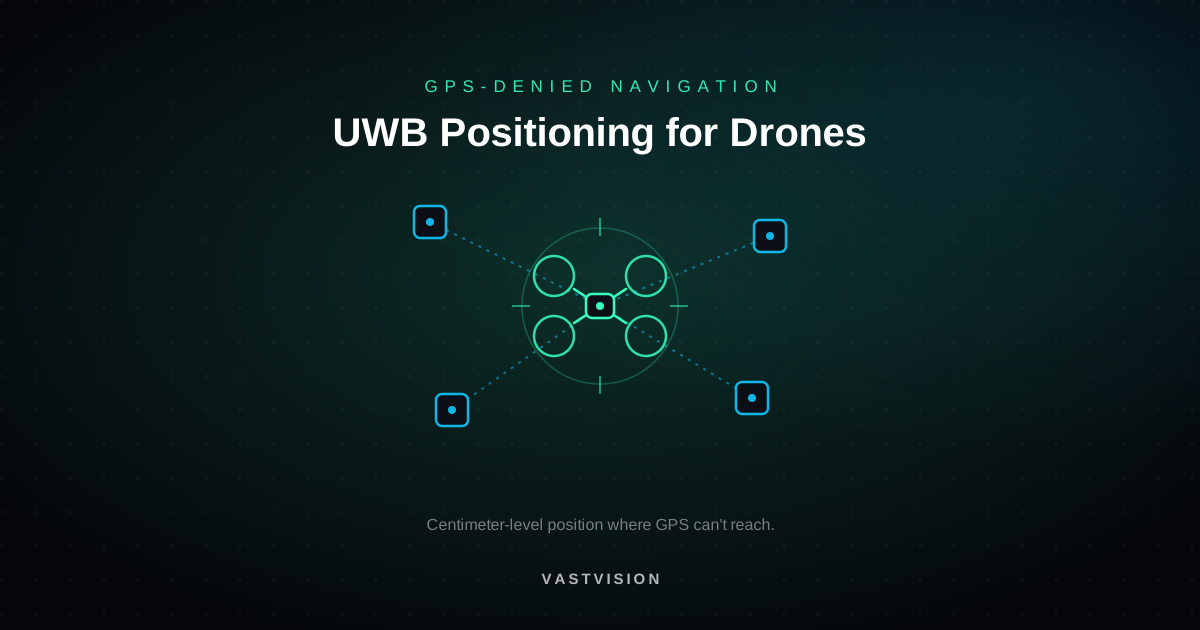
- Anchors: small fixed units mounted around the flight area at known, surveyed positions.
- A tag: a lightweight radio carried by the drone.
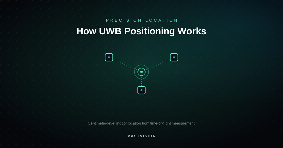
The tag measures its distance to each anchor, and the system combines those ranges to solve for a position, a process called multilateration. With anchors at different heights, the result is a full 3D position, at centimeter-level accuracy in good conditions. For a deeper look at the ranging itself, see How UWB Positioning Works.
Two-way ranging vs. TDoA
There are two common ways to measure those distances:
- Two-way ranging (TWR): the tag exchanges messages with each anchor and measures the round-trip time. It is simple and accurate, and it doesn't need the anchors to share a clock. Each exchange takes airtime, so it suits a handful of drones.
- Time difference of arrival (TDoA): synchronized anchors transmit (or listen), and position comes from the differences in arrival time. In the downlink form, drones only listen, much like GPS receivers, so any number of aircraft can share one anchor network. That makes TDoA the natural fit for swarms.
Plugging UWB into the flight controller
UWB is not used on its own. The flight controller's state estimator, usually an extended Kalman filter (EKF), fuses UWB position with the inertial measurement unit (IMU), barometer, and any other sensors. The IMU provides fast, smooth motion data between UWB updates, and UWB corrects the drift the IMU can't see. The result is a stable position the autopilot can hold and navigate with.
The major open-source autopilots support this directly. ArduPilot can take a beacon positioning system or an external position source in place of GPS, and PX4 accepts external position estimates for its EKF. In practice the setup looks like this:
- Define a local frame. Survey the anchor positions carefully, and set an origin and heading so "north" and "up" mean the same thing to the drone and the map.
- Add a height reference near the ground. A downward rangefinder improves takeoff and landing, and optical flow can smooth low-altitude hover.
- Tune the filter. Tell the EKF how much to trust UWB versus the IMU, and set sensible failsafes for when the tag loses contact with the anchors.
Designing the anchor layout
Most of the accuracy in a UWB system comes from where the anchors go. A few rules hold for nearly every site:
- Use at least four anchors for 3D, and more for large or obstructed spaces so the drone always sees several at once.
- Vary the height. Anchors all at the same height give poor vertical accuracy. Mount some high and some low.
- Surround the flight volume. Position is most accurate inside the area the anchors enclose and degrades outside it.
- Keep line of sight. Racking, machinery, and the drone's own body can block or delay the direct signal. Place anchors where the tag can see them from the routes it flies, and mount the tag where the airframe won't shadow it.
- Survey precisely. The system can only be as accurate as the anchor coordinates you give it.
Where UWB-positioned drones make sense
- Warehouses and distribution centers: automated inventory scans along racking, where steel roofs block GPS.
- Tunnels and mines: inspection and mapping underground, with no sky view at all.
- Bridge, tank, and boiler inspection: steady, repeatable flight inside or beneath large steel structures.
- GPS-jammed and contested sites: test ranges, training environments, and facilities that need navigation independent of satellite signals.
- Indoor test and training: a repeatable reference for developing autonomy, swarming, and precision landing.
- Precision docking: landing on a pad or charging station to within centimeters.
Limits to plan for
UWB is a strong answer to GPS-denied flight, not a universal one. It needs infrastructure, so coverage ends where the anchors end, and very large outdoor areas get expensive to cover. Accuracy depends on geometry and line of sight, so layouts need care. And it gives a drone position, not awareness, so obstacle avoidance still needs its own sensors. Most robust systems pair UWB with optical flow, a rangefinder, or vision, so a single blocked anchor or a dark aisle doesn't take the aircraft down.
Frequently asked questions
Can UWB replace GPS on a drone?
Inside the area covered by anchors, yes. UWB can serve as the drone's primary position source where GPS is unavailable. Outside that area, the drone needs GPS or another source, so many systems switch between them.
How accurate is UWB positioning for drones?
Centimeter-level in good conditions, with accuracy on a moving aircraft depending on anchor geometry, line of sight, and how the data is fused with the IMU.
How many anchors does a drone need?
At least four for a 3D position, placed at different heights around the flight area. Larger or more obstructed spaces need more.
Can several drones share one UWB system?
Yes. With TDoA, drones only listen to the anchors, so a single anchor network can position many aircraft at once.
Does UWB work outdoors?
Yes, within the anchored area. It is most useful outdoors where GPS is jammed, blocked by structures, or not accurate enough for the task.
Positioning where GPS can't reach
VastVision builds ultra-wideband positioning for assets, people, and drones, and we test it on our own GPS-free quadcopters in our Albuquerque lab. If you need drones to fly where GPS can't reach, tell us about the space and the mission and we will help you plan the anchor network and the integration.
Talk to the lab
Working on something like this?
Tell us what you need to track, sense, or build. We’ll tell you how we’d approach it.